SmartTrack hardware receives signals from GPS, Glonass, BeiDou and Galileo simultaneously. A greater number of visible satellites means more favourable constellation geometry and, in turn, lower positional error and better availability of the position solution.
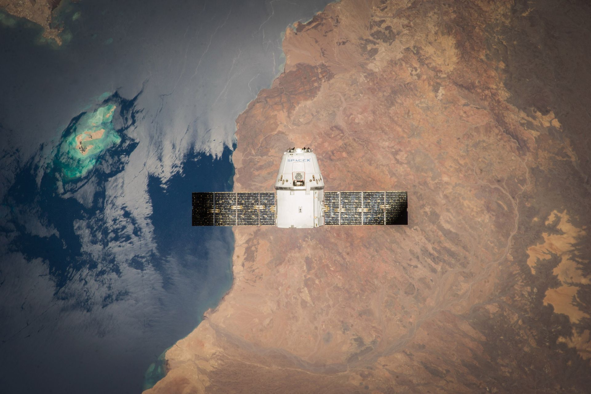
In dense urban areas, under heavy foliage or in mountainous terrain, constellation redundancy compensates for obstructed satellites and maintains tracking continuity.
The receiver computes position from the satellites of all four constellations.
Fuel level and parameters from the vehicle data bus are read in parallel.
Without radio coverage, data is stored in the unit's internal memory.
Once the connection returns, the full history is sent to our servers without loss.
Data is validated, aggregated and made available in the web interface.
Tank level is determined by dedicated sensors or read from the vehicle data bus, depending on fleet configuration. Correlating this with positioning data allows consumption to be reported per trip, vehicle and period, while sudden level changes are flagged automatically — from unrecorded refuelling to losses from the tank.

Our units are exposed to dust, vibration and extreme temperature variation — everyday conditions on construction machinery, tractors and heavy goods vehicles. The 10-year warranty reflects the designed service life of the product.
An extended warranty period, above the market standard.
Including outside the EU: Moldova, Russia, Ukraine, Bulgaria, Turkey.